


Disaster Response


Construction
Streamline site planning, track resources, stay connected, and mitigate costly problems before they arise. Stay connected with high speed satellite internet and 110w BK radio, ensuring seamless coordination between crews, supervisors and off-site teams, no matter the location. Produce high quality blueprints, site plans, and reports on-site from out 44" plotter printer and high volume printer, keeping your project on tract with readily available documents. Benefit from our remote IT support and on-site operations assistance, with procedural SOPs, allowing your team to focus on building while we handle technical needs
Environmental Studies
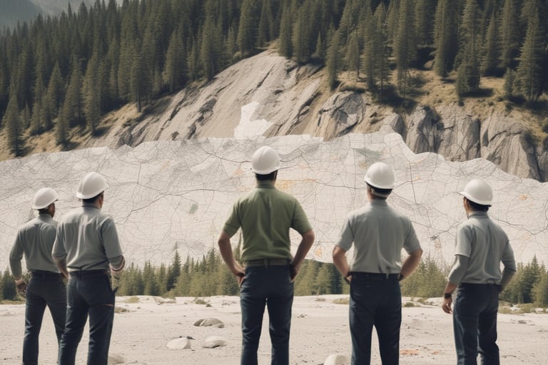
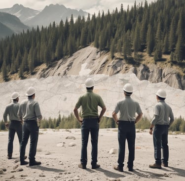
Levarage ArcGIS on our high-performance work stations to map ecosystems, track wildlife, or analyze environmental data in real time, with optional GIS support for complex studies. Stay connected with high-speed satellite internet and 110w Bk radio, enabling seamless data sharing and collaboration from isolated field sites. Produce detailed maps and field reports instantly ensuring your findings are documented in the field. Operate in rugged environments without existing infrastructure.
Deliver up-to-date visuals of disaster areas, helping teams track fire spread, flood zones, or earthquake damage instantly. Pinpoint the locations of personnel, equipment, and supplies on GIS maps to deploy resources efficiently, ensuring rapid response in remote or chaotic disaster zones. Run simulations to anticipate disaster progression enabling proactive strategies. Track environmental changes to support recovery planning.
Film Production
Manage your production in remote and rugged environments. Map and analyze film locations with ArcGIS, ensuring optimal site selection for scenes, with detailed terrain and environmental data. Produce storyboards, shot lists, or location maps on site, keeping your production organized and on schedule. Our climate controlled unit is equipped with outfitted work stations, 110v and 220v outlets throughout, white boards, and ample storage to provides an ideal space for on-set editing or pre-production planning.
Providing Mobile Command Centers and GIS Support
Contact Us
© 2025. All rights reserved.